Prestige Battersea Map

Featured Image of Prestige Battersea Map


The Prestige Battersea map shows that the township is located on Hennur Road, on the north side of Bangalore. It presents the graphical layout of the locality where the venture is nestled. Its nearby facilities are covered along with the distance and direction.

The Google Map presents the coordinates of the township, which are:

  • Latitude: 13.037° N
  • Longitude: 77.646° E

Prestige Battersea is a well-located, upcoming residential project that offers all types of location benefits. The site has good connectivity with a strong road network that links the area to all parts of the city through NH-44, Hennur Main Road, and Outer Ring Road. The upcoming Metro Line 4 Purple Line Extension will further improve travel and transport once it is completed by 2027 to 2028.

The area also has good metro access through the Purple Line, which helps residents of Prestige Battersea reach major city locations in a short time.
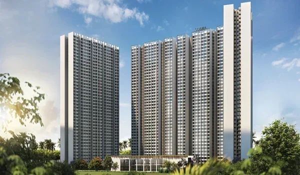
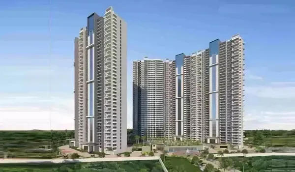
The commuting stations, tech hubs and parks, and basic facilities are also displayed in the location map, which are as follows:


Connectivity to Different Transport Options


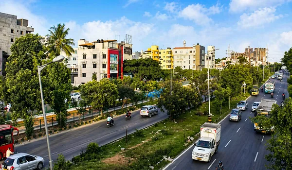
  • Road Connectivity: The area has a brilliantly linked road network with major roads including NH-44 (Bellary Road), NH-75 (Old Madras Road), Thanisandra Main Road, Hennur Main Road, Outer Ring Road, and Nagawara Main Road. Hennur Main Road has 15 or more bus routes that link to all parts of the city.
  • Rail Connectivity: Banaswadi Railway Station is located 7 km from the township and can be reached in 15 to 20 minutes. Yelahanka Railway Station is 9 km away and takes 25 minutes. The Railway Station is 18 km away via ORR and takes 35 to 40 minutes.
  • Metro Connectivity: Baiyappanahalli Metro Station is the nearest station and is around 7 km from the project, which takes nearly about 10 mins to reach. It is part of the Purple Namma Line of the Bangalore Metro. Kasturi Nagar Metro Station is 8 km away. Metro Line 4 (Purple Line Extension) is planned to reach within 3 to 4 km of the project by 2027 to 2028.
  • Bus Connectivity: Hennur Main Road has 15 or more BMTC bus routes running frequently from the area. Key routes include the 500 series Volvo, the MBS series, and regular services connecting to the Kempegowda Bus Station, Hebbal, Marathahalli, Whitefield, KR Puram, and Electronic City.
  • Air Connectivity: Kempegowda Airport is approximately 26 km from the venture and is the only airport for Bangalore. It can be reached in 30 minutes via Hennur Airport Road. Airport buses and 24/7 cabs are available from the area.

Connectivity to Tech Parks and Work Hubs


Major tech parks are located near Prestige Battersea, which provide good job opportunities for residents.

  • Kirloskar Business Park – 3 km (west of the project)
  • Thanisandra IT Corridor – 3 km (north of the project)
  • Manyata Tech Park – 4 km (north-west of the project)
  • Bhartiya City – 5 km (north of the project)
  • KIADB Aerospace Park – 10 km (north of the project)
  • Bagmane Tech Park – 12 km (south of the project)
  • ITPL – 15 km (east of the project)

Connectivity to Basic Facilities


The township is well-located in proximity to the top hospitals and schools. Several malls are also nearby for daily needs.

Malls

  • Elements Mall – 4 km (south of the project)
  • Gopalan Signature Mall – 6 km (south of the project)
  • Vivira Mall – 10 km (north of the project)
  • Total Mall – 12 km (south of the project)
  • Orion Mall – 12 km (west of the project)
  • Phoenix Marketcity – 15 km (east of the project)

Schools

  • Canadian School – 2.5 km (east of the project)
  • Vidya Shilp Academy – 3.8 km (north of the project)
  • Indus School – 4.2 km (south of the project)
  • Ryan School – 5.2 km (south of the project)
  • Delhi Public School – 6.3 km (south of the project)

Hospitals

  • Columbia Asia Hospital – 6 km (south of the project)
  • Manipal Hospital – 7 km (south of the project)
  • Aster CMI Hospital – 8 km (north of the project)
  • Vydehi Hospital – 12 km (east of the project)
  • Sakra World Hospital – 14 km (south of the project)

Connectivity to Premium Localities

Many popular areas are located nearby, including tech parks and residential projects.

  • Kalyan Nagar – 1.4 km (south of the project)
  • Nagawara – 5.5 km (south-west of the project)
  • Yelahanka – 16.4 km (north of the project)

Project Highlights


Project Type Apartment Township
Total Land Area 12 acres
Location Hennur, North Bangalore
Launch Date February 2027
Unit Variants 1, 2, 2.5, 3, and 4BHK
Starting Price ₹98 Lakhs Onwards
Total Units 1,900
RERA Status Pending
Towers 7 High-Rise Towers
Structure 2B + G + 28 to 32 Floors each
Possession February 2032
Enquiry
Enquire Now